
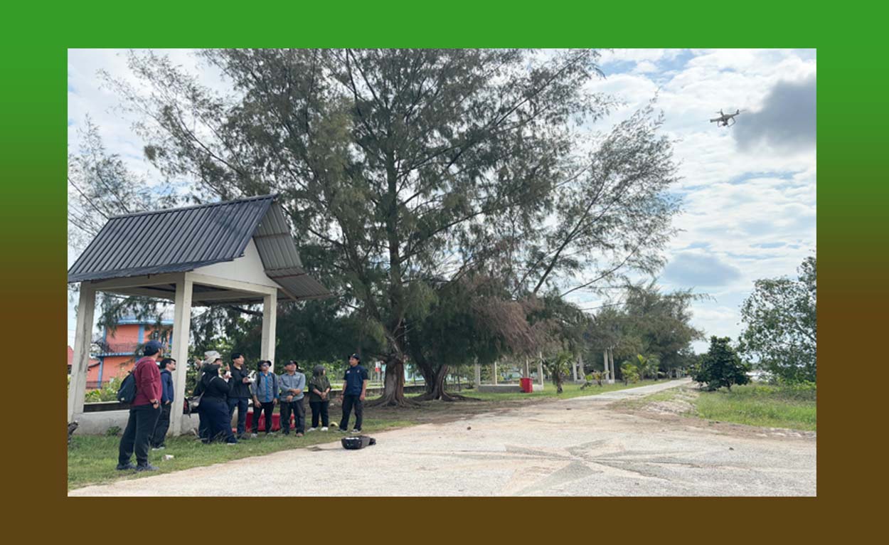
Pekanbaru – The Center for Peatland and Disaster Studies (CPDS) at Universitas Riau organized a UAV Drone and Photogrammetry Training for young researchers on 15 August 2025 in Selat Baru, Bengkalis. The program was designed to equip participants with essential technical skills and practical knowledge in operating Unmanned Aerial Vehicle (UAV) drones and processing photogrammetric data to support environmental and disaster research.
The training began with an opening presentation by the Coordinator of the Peatland and Disaster Research Center of Universitas Riau, who served as the lead instructor. In his remarks, he emphasized that mastering UAV technology is now an essential skill for researchers, particularly for purposes such as regional mapping, environmental change monitoring, and disaster risk mitigation.
“With UAVs, we can collect accurate and up-to-date spatial data in a much shorter time. This greatly assists researchers in producing strong, evidence-based studies,” he stated.
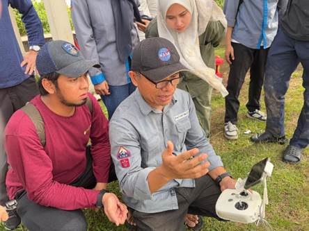
[Image 1: Opening session – instructor delivering presentation and participants listening attentively]
The training was attended by participants from diverse backgrounds, including four undergraduate students from Universitas Riau completing their theses in the Civil Engineering Program at the Faculty of Engineering and the Biology Program at FMIPA, a Master's student in Marine Science from the Faculty of Fisheries and Marine Sciences at Universitas Riau, an undergraduate student from Yamaguchi University, Japan, and early-career lecturer-researchers. This diversity of academic disciplines enriched discussions, as each participant contributed different research perspectives.
In the first session, the instructor provided an introductory lecture on the benefits of UAVs and photogrammetry. Participants learned how this technology can be applied for regional mapping, vegetation monitoring, topographic surveys, and photographic and video documentation. The instructor also demonstrated how aerial imagery can be integrated with mapping software to produce precise thematic maps, supported by case studies of UAV applications in peatland areas, coastal zones, and disaster-prone regions.
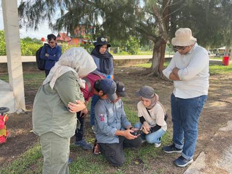
[Image 2: Lecture session – instructor pointing at the drone display screen]
The second session focused on the technical aspects of UAV equipment. Participants were introduced to the main components of drones, including the frame, propellers, multispectral and RGB cameras, navigation sensors, and remote control systems. The instructor explained the function of each part, maintenance procedures, and component replacement tips to extend the device’s lifespan. Participants then engaged in a hands-on assembly simulation to understand component installation workflows and pre-flight check procedures.
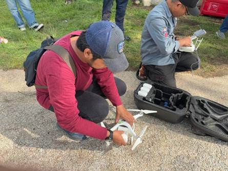
[Image 3: Participants holding and assembling drone components]
In the third session, participants moved to the field to practice operating two types of drones: the DJI Mavic 3M and DJI Phantom 4 Pro. Working in turns, participants practiced setting up automated flight routes using a control application, executing safe take-offs and landings, capturing aerial imagery at optimal resolutions, and monitoring flight stability and image quality in real time.
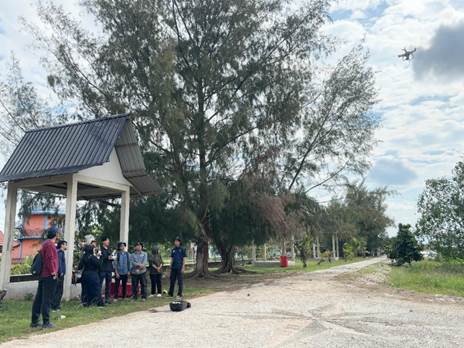
[Image 4: Participant operating a drone]
This session simulated an actual mapping mission, covering the stages from preparation and flight to data collection. Participants also learned to assess weather conditions, wind direction, and terrain factors that influence flight performance.
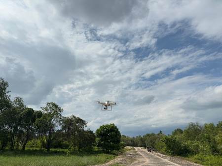
[Image 5: DJI Phantom 4 in flight over the training area]
The training received highly positive feedback from participants, who valued the opportunity to operate advanced technology while also understanding the scientific processes behind it. CPDS plans to conduct follow-up training focused on spatial data analysis and its application for disaster risk mapping and sustainable peatland management planning.